Inside the National Hurricane Center: A Q&A With Alumnus Michael Brennan
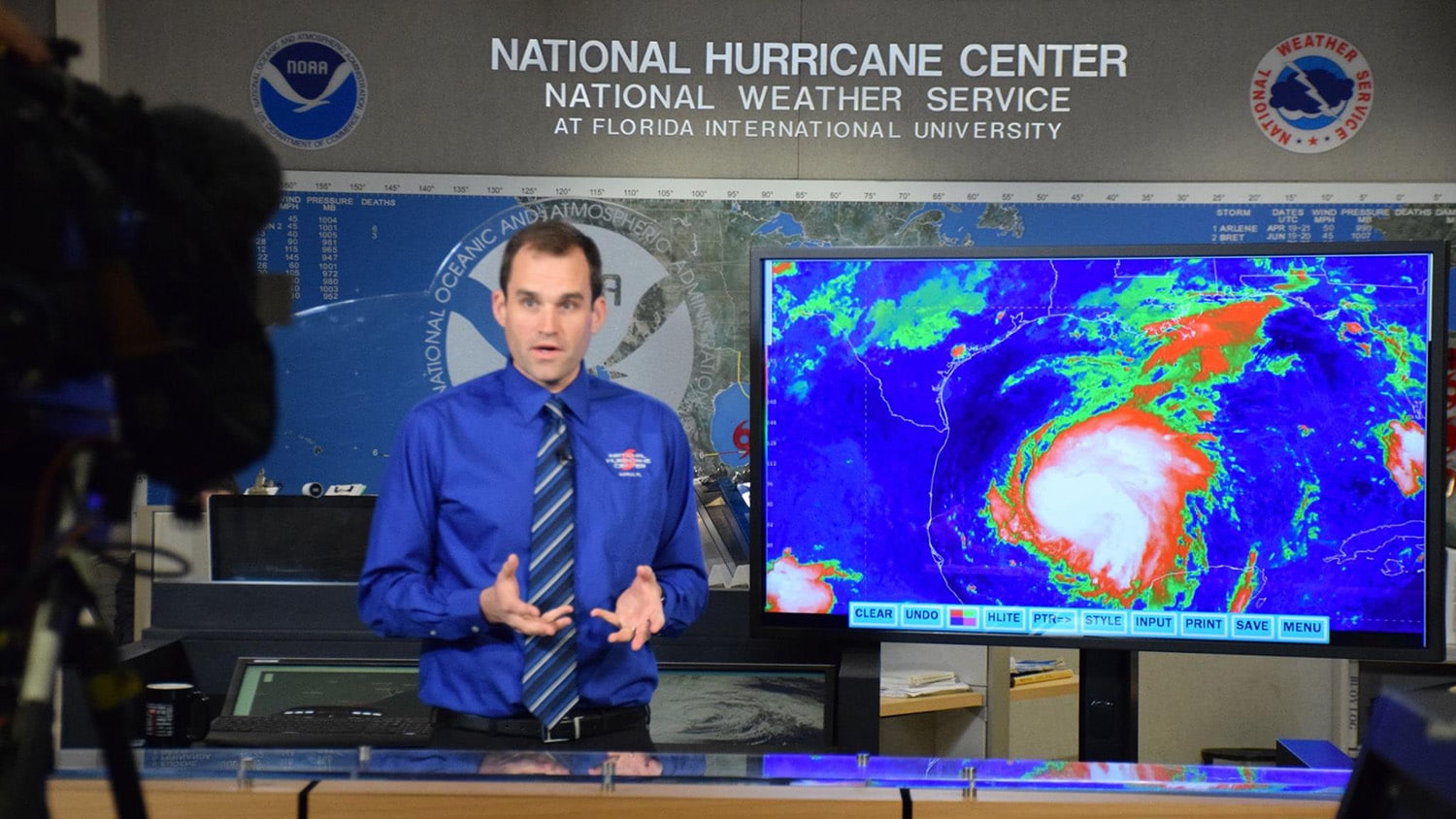
Michael Brennan is a proud NC State alumnus, earning bachelor’s, master’s and doctoral degrees from the Department of Marine, Earth, and Atmospheric Sciences. This experience led him to a pretty cool job: branch chief of the Hurricane Specialist Unit at the National Oceanic and Atmospheric Administration’s National Hurricane Center (NHC) in Miami.
He took a few minutes in the midst of the busy Atlantic hurricane season to clear up some common misconceptions about hurricanes and tell us what it’s like to work at hurricane headquarters.
What are the biggest challenges in forecasting hurricanes?
The biggest challenge continues to be forecasting rapid changes in storm strength. While the ability of numerical models to forecast rapid strengthening has improved, we are far from perfect and still struggle to get the details correct, like exactly how much strengthening will occur and how long it will last.
Would you explain the “cone of uncertainty”? If you’re outside of that, does it mean you’re safe from an incoming storm?
The NHC cone shows the probable path of the center of the storm based on NHC’s track forecast errors over the previous five years. Unfortunately, the cone is often misinterpreted as a risk graphic. It doesn’t tell you anything about the impacts of the storm and where they might occur. Hazards from storm surge, rainfall and wind can extend well outside the cone, which is why we encourage people to look at the hazard-specific products that are available for storm surge, wind and rainfall to determine their risk from a storm. Some examples of these include graphics that show the chances of tropical-storm or hurricane-force winds occurring at your location, or how much storm surge could occur at your location.
What’s the most dangerous part of a big storm — wind or water?
It is the water, despite that fact that most people associate hurricanes with wind. For the United States, nearly 90% of all hurricane-related fatalities are due to water of some sort. Storm surge is responsible for about half of the fatalities and has the potential to kill the largest number of people in a single day. In fact, most hurricane evacuations in the United States are based on the risk of storm surge. Freshwater flooding due to rainfall is another significant killer, and this can occur days after landfall and hundreds of miles inland. In the past few years, this hazard has been responsible for the majority of U.S. tropical cyclone deaths. Wind certainly has the potential to cause damage and fatalities as well, but people tend to underestimate the power of water.

What’s the craziest day you’ve ever had in the center?
I think the day of Hurricane Michael’s landfall in 2018 will stay with me the rest of my life. Watching a storm continue to intensify that quickly right up until landfall, and knowing what sort of destruction and potential loss of life it could cause, left me with a feeling of horror that I’ll never forget.
Is there a hurricane safety plan for the center itself? Have you ever had to evacuate?
The NHC building is very sturdy and was built to survive the very strong hurricanes that we could experience in Miami. We’ve never had to evacuate the facility, but during a significant hurricane threat, we do shelter in place in the building. During Hurricane Irma in 2017, we stayed in the building for two nights and also deployed some staff to our backup office in the Washington, D.C., area in case there were any issues with communications or something else that would prevent us from fulfilling our mission from the NHC.
- Categories: