Rocks, Rivers and Roadside Lectures: Geology Field Camp in Photos
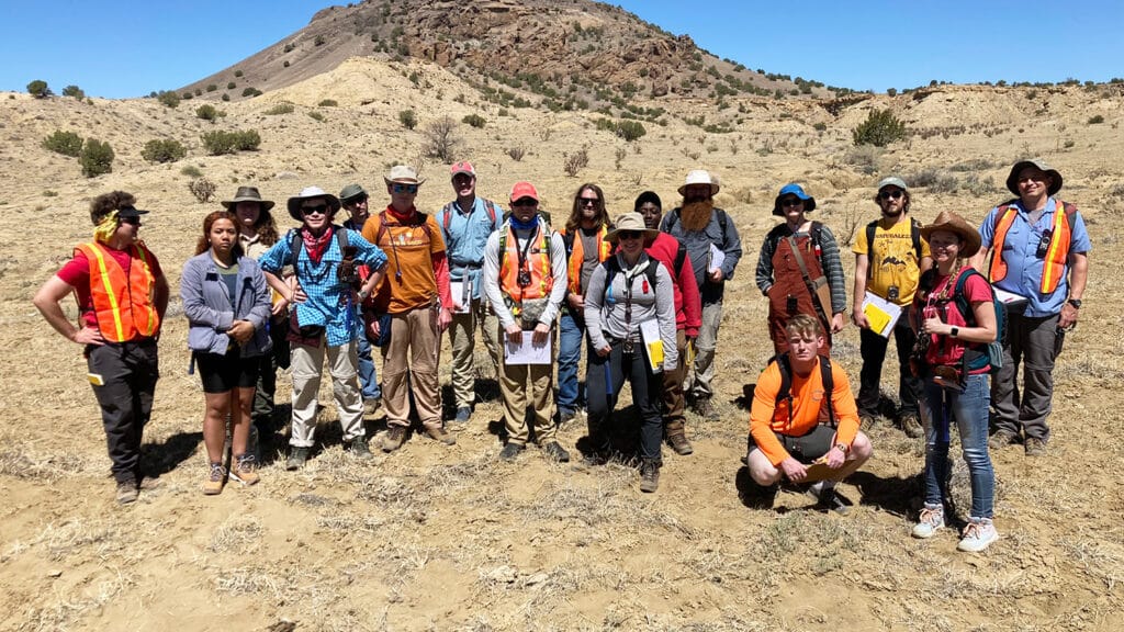
A group of 14 students explored the geological wonders of New Mexico's desert earlier this summer. See their adventures in photos.
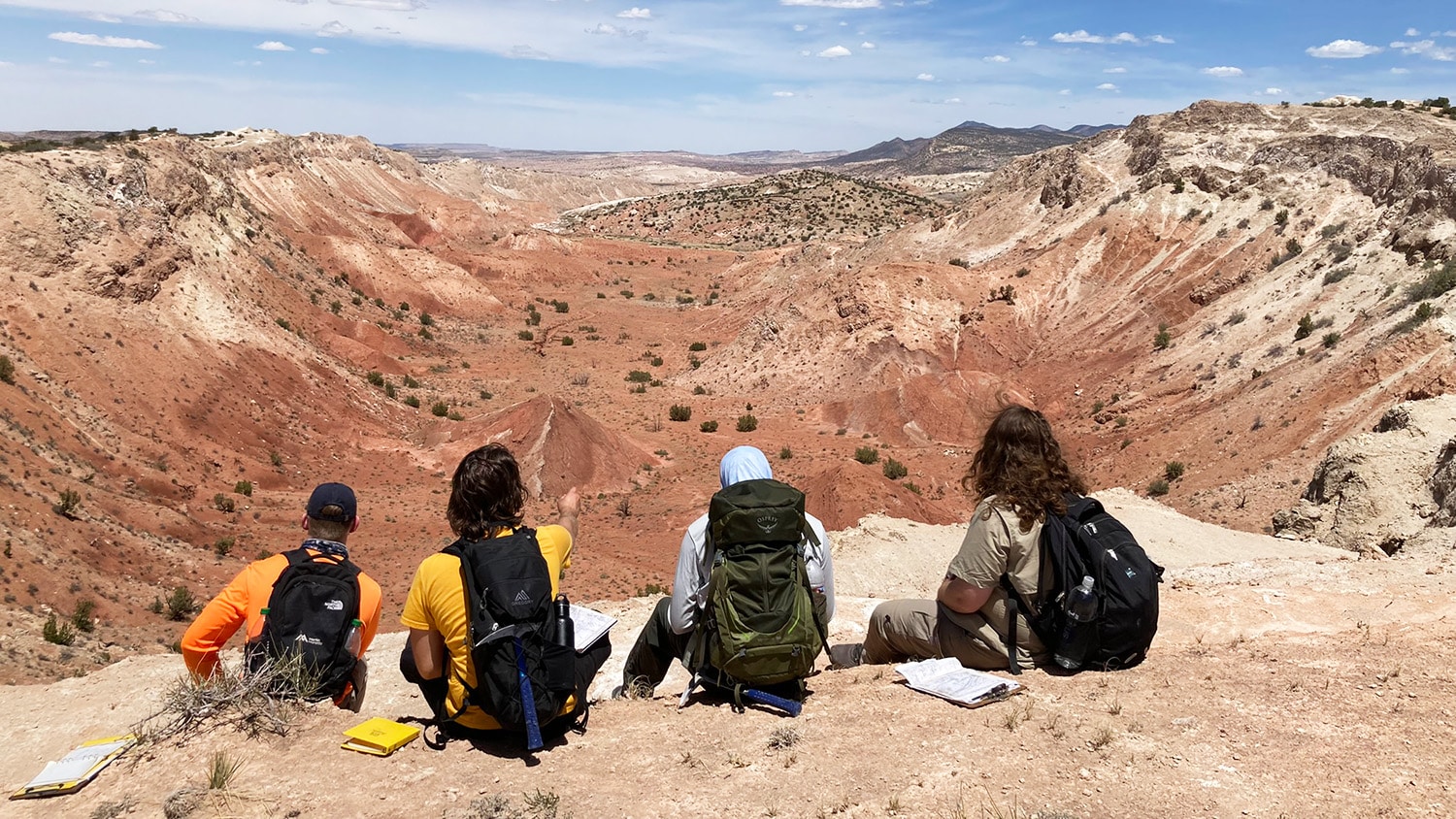
From globe-trotting during study abroad programs to gaining real-world experience at internships, many Sciences students use their summer break as an opportunity to expand their horizons.
For 14 geology students, this meant venturing out into the high elevations, heat and rugged terrain of northern New Mexico during MEA465, a senior capstone summer geology field course. Over the span of four weeks, the students mastered the use of field instruments and techniques used in geological sciences.
Take a look back at their adventures.
Arriving in New Mexico
After taking most of their geology courses online during the COVID-19 pandemic, MEA465 provided a welcome opportunity for senior geology students to roll up their sleeves and put their knowledge into practice.
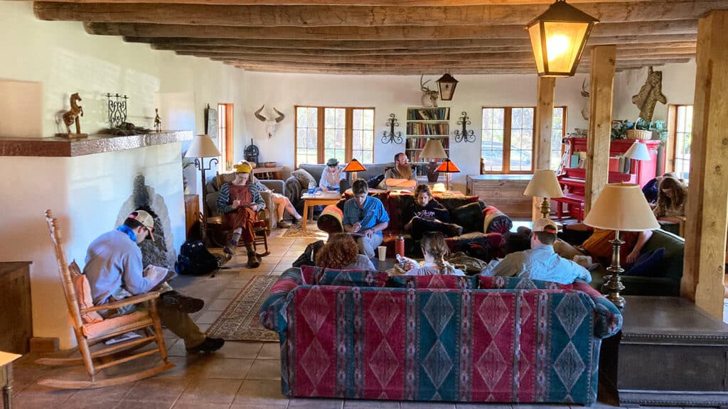
The journey began on May 13, when the students arrived at the Circle A Ranch outside Cuba, New Mexico, about 80 miles north of Albuquerque.
Telling Earth’s Stories Through Color
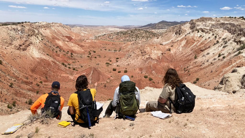
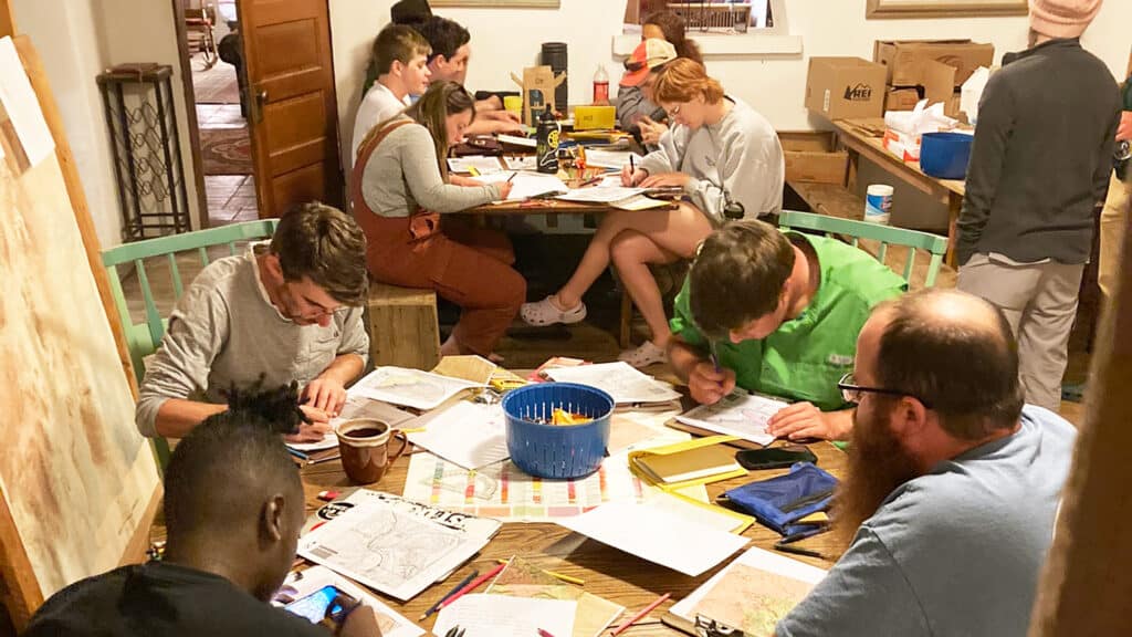
Students spent their days in the field gathering information about geological formations. In the evenings, they prepared maps, cross-sections and reports of their findings.
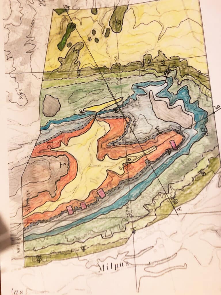
Geologic maps use various colors to represent the different geologic formations at the study site. They are created over black and white topographic maps to indicate details including the elevation across the site, the location of drainage channels and the general shape of the land’s surface.
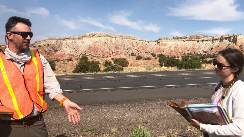
“Geologic maps give us a more complete understanding of how and why the Earth’s surface has evolved to present the modern landscapes we see today,” said Chris Norcross, an earth sciences graduate student who served as an MEA465 teaching assistant.
More Findings in the Desert
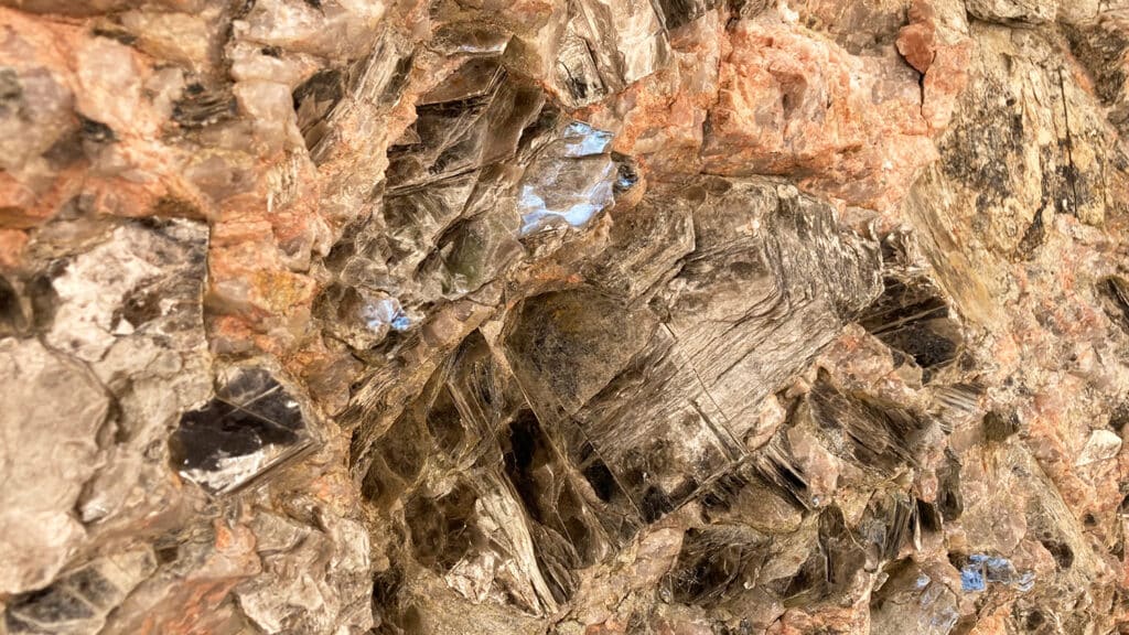
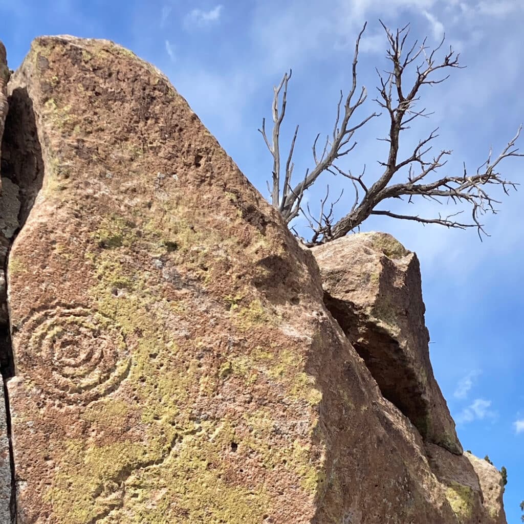
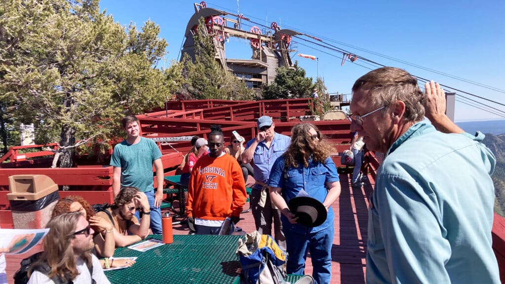
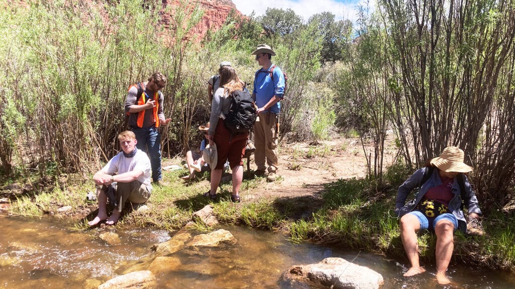
While exploring the geological formations of New Mexico, the students came across a few additional gems in the desert.
