Breaking Down the State Climate Office’s 2019-20 Winter Outlook
This article was submitted by the State Climate Office of North Carolina.
Last month, NOAA’s Climate Prediction Center released its outlook for the coming winter, and it’s a forecast fraught with uncertainty.
Much of the continental United States including North Carolina is shown with equal chances of above-, near-, or below-normal precipitation, while the southern U.S. has a 40 to 50 percent likelihood of above-normal temperatures for the three-month period from December through February.
Even a 50 percent chance is far from a guarantee, so what is this outlook — and the atmospheric patterns that are driving it — really telling us about our winter?
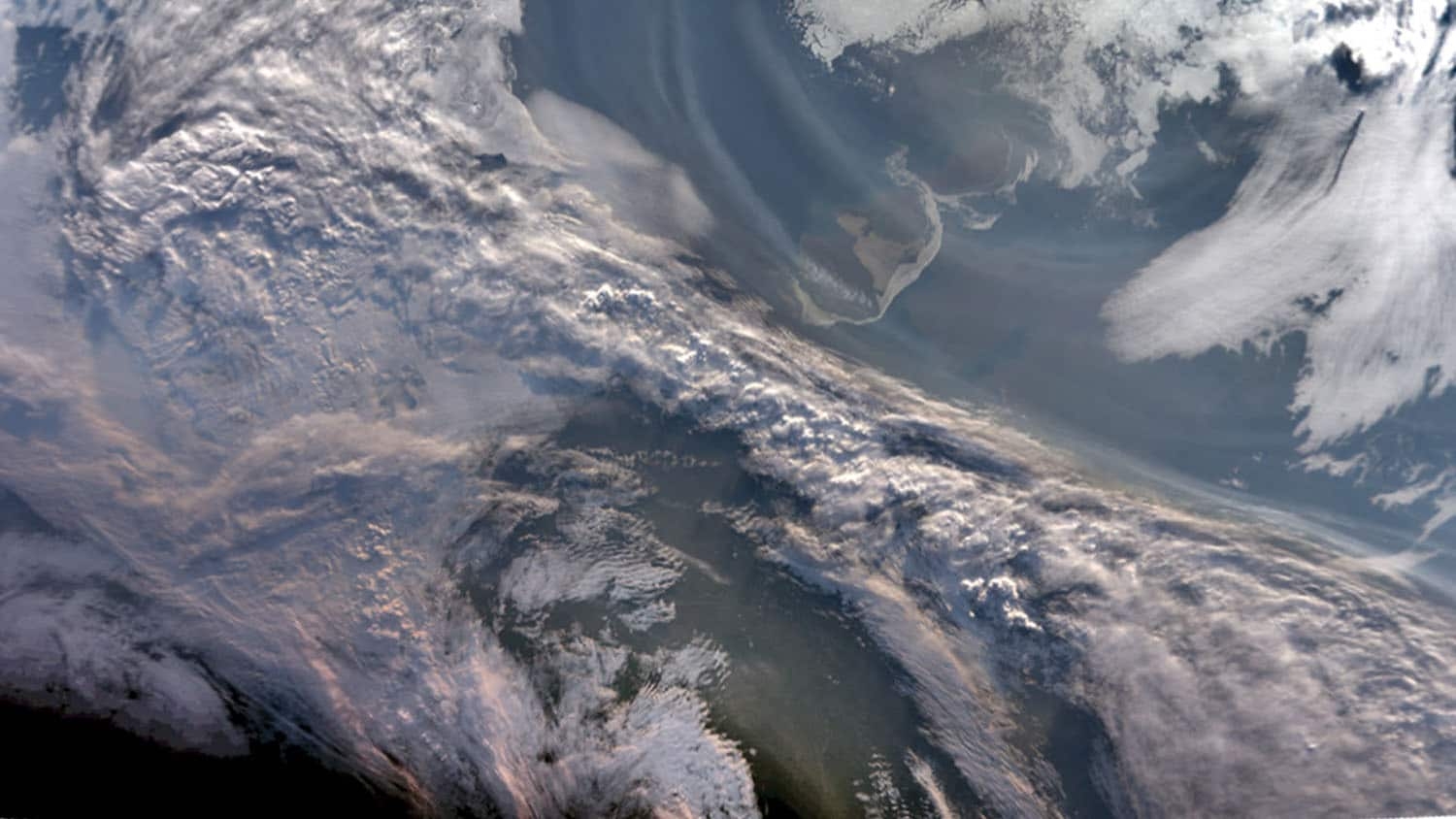
One of the main patterns that usually offers us some seasonal predictability entering the winter is the El Niño/Southern Oscillation, or ENSO, which describes the cyclical warming and cooling of sea surface temperatures across the equatorial Pacific Ocean.
ENSO can also affect the strength and position of the subtropical jet stream — one of the fast-moving “rivers of air” several miles up that makes your west-to-east flights a bit faster, and sometimes controls our wintertime temperatures and precipitation.
During ENSO’s warm phase, or El Niño, we tend to have wetter and sometimes cooler winters, while in the opposite phase (La Niña), we’re often warmer and drier.
But when ENSO is somewhere in between, with no significant sea surface temperature anomalies, it’s in a neutral phase, and in those cases, it doesn’t tend to affect the large-scale jet stream pattern.
That’s the main source of uncertainty in this winter’s outlook. Without the steady and fairly reliable influence from ENSO, other patterns that change more quickly — and as such are tougher to predict this far in advance — will likely dictate our weather.
That doesn’t mean our temperatures and precipitation will be near-normal all winter. It just means we’ll probably have quite a bit of variability: some warm and cool days, some wet and dry ones, and yes, maybe even some snow. In Raleigh, we average about six inches per year, although in past ENSO-neutral winters, we’ve had anywhere from no snow to more than a foot!
These changing patterns from week to week are similar to what we’ve already seen this fall. October started with record heat and fast-emerging drought, then finished with wetter conditions especially in western North Carolina. So far in November, our temperatures have generally been on the cool side.
With that in mind, what’s the main take-home message from this outlook? Keep your entire wardrobe, from heavy coats to short sleeves, at the ready. At various points this winter, you’re likely to need it all!
For more about this winter’s outlook, the State Climate Office’s Climate Blog has some additional information about the ENSO-neutral pattern and a detailed breakdown of this winter’s outlook.